
Search an Oak Ridge Street Step by Step
A street-level search starts with one complete address, then expands only as each record supports the next step. Oak Ridge spans Anderson and Roane counties, so the parcel map is the first routing check. The tax roll can identify a public owner and the mapped situs, but it does not establish every person who may live there. Use the result as an address and ownership clue, then keep the parcel ID and legal description with the search notes.
- Search the address in the Oak Ridge tax portal or Tennessee Property Assessment Data, then note the situs, mailing address, owner, county, and parcel identifiers.
- Open the Anderson or Roane GIS viewer for the parcel. Compare road names, boundaries, adjacent lot shapes, and the county side before moving to a deed index.
- For an Anderson parcel, search the owner as grantee in the recorded-deed index. For a Roane parcel, ask the Register of Deeds about the office or paid online route.
- Use the Tennessee voter lookup only when a named person and the required birth details are already known. It is an individual registration check, not a street roster.
- For an older address, ask the Oak Ridge Room or Clinton Public Library for the 1989-1995 Anderson County criss-cross volumes, then verify a name with a deed, census, newspaper, or probate record.
That chain keeps the Oak Ridge street directory focused on records keyed to an address. A parcel owner, a deed party, and a historical directory entry can all be useful, but they describe different moments and roles.
Oak Ridge Address-Record Sources
Each source below is keyed to an address, parcel, mapped location, or recorded instrument. The strongest street result combines the county parcel system with the municipal layer and confirms the county before opening a recorder's index. When a portal does not show an older file, the office, library, and archives remain part of the route.
| Address record | What ties it to the street | What it can establish | Oak Ridge access route |
|---|---|---|---|
| TPAD or assessor roll | County, street address, subdivision, or parcel fields | Tax-roll owner, mailing address, situs, values, and assessment data | TPAD is free and updates weekly; Anderson also supplies ArcGIS |
| Municipal tax account | Address, owner, receipt, or tax-map identification | City tax account, owner clue, and address or map reference | Oak Ridge tax search |
| GIS parcel map | Parcel geometry and road context | Parcel boundaries, nearby lots, zoning, aerial or boundary context | Anderson map tools or the Roane GeoHub |
| Recorded deed or plat | Legal description, lot/block, or prior parties | Recorded transaction parties and the ownership chain | Anderson online from 1990; Roane office or paid access |
| CityView permit or planning file | Address, Parcel ID, application, project number, or project name | Public project chronology or applicant detail when exposed | Online locator, with older-file coverage not stated |
| Criss-cross directory | Street or address browse | Historical address-to-occupant clue | Library route; 1989-1995 run needs volume verification |
A street name alone is useful in TPAD and the municipal tax search, while a deed often relies on a legal description rather than a modern number. The parcel identifier is the bridge between a displayed street address, map context, and the written land record.
Run TPAD Along an Oak Ridge Street
TPAD is the most detailed public field search for a broad Oak Ridge address query. Select Anderson or Roane first, enter a street in Property Address, and add a subdivision, classification, or sale-date range if the return is too broad. County is required and the service requires at least one additional criterion. Its address field accepts a street name without a number, which makes it useful for a by-street pass.
| TPAD or map control | How the field works |
|---|---|
| County | Required dropdown. Choose Anderson or Roane after confirming the parcel side of Oak Ridge. |
| Owner Name | Optional text. The help examples allow a full or abbreviated name. |
| Property Address | Optional text. A street name may be entered without a street number. |
| Subdivision and Classification | Optional fields that can narrow a broad street result. |
| Sale Date Start and End | Optional date pair in MM/DD/YYYY format. |
| Control Map, Group, Parcel | Parcel components: control map may use three digits and letters, group up to two letters, and parcel five digits with an optional decimal after the third digit. |
| Sort By | Owner Name, Property Address, Parcel ID, Subdivision, Classification, or Sale Date. |
| Anderson and Roane map search | Address or parcel locating and click-identify are described by the counties; exact labels, layer lists, and export controls were not exposed in the inspected text. |
Do not treat the tax mailing address as the mapped location. It is where a notice is sent and may differ from the situs, which is the physical parcel address. Both values can help distinguish similarly named roads, but neither is a complete household list.
Check Oak Ridge CityView by Address
The municipal layer is useful when the question concerns a property or a public project tied to an address. CityView Property Locator requires an autocomplete selection after a street address or Parcel ID is entered. Its Permit Locator accepts an application number, address, or Parcel ID, and its Planning Locator accepts a project number, project name, address, or Parcel ID. The live result fields and historical coverage were not exposed, so a blank result should not be read as proof that no older paper file exists.
The required address selection appears on the official Oak Ridge CityView Property Locator.
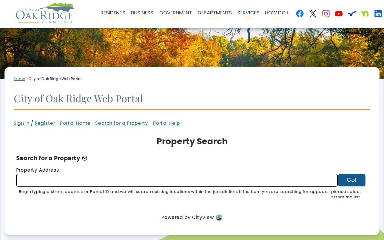
Use CityView to add a municipal address or project reference to the street directory trail, then retain the parcel ID for the correct county assessor, GIS, or recorder search.
Read an Oak Ridge Parcel Map
GIS supplies the spatial check that an index cannot. Locate the target address or parcel, select the mapped parcel, and compare its boundary with the lots on both sides and behind it. Anderson describes its mapping as property, zoning, and boundary information. Roane describes parcel boundaries, property details, aerial imagery, and location-based datasets. A road, creek, easement, or county boundary can explain why a nearby shape is not a direct adjacent parcel.
The county's Anderson assessor ArcGIS application is the mapped companion to a TPAD field search.
Because the captured map did not render a complete live identify panel, use the viewer for Oak Ridge street directory parcel context and verify owner or transaction details in TPAD, the county assessor record, or a deed image.
Route Oak Ridge Street Records by County
One city name does not create one land-record system. The parcel's county determines the recorder, assessor, election office, and many county records. Anderson-side parcels normally route to the Anderson Assessor, the Anderson Register of Deeds, and the Clinton offices. Roane-side parcels route to Roane's corresponding systems in Kingston. The Oak Ridge municipal tax, CityView, planning, and City Clerk layers can still apply on either side.
Anderson's online deed index and images are complete from January 1, 1990 to the present. The site also describes the online service as beginning March 24, 1997, which is a service-history date, not the record cutoff. Roane says its land records date to 1801 and are being digitized, but it does not publish an online starting year. On the Roane side, a missing online result calls for an office or subscription-access question, not an assumption that the record is absent.
Trace an Oak Ridge Street Deed Trail
A deed is stronger evidence of a recorded transaction than a current assessment snapshot. Start with the assessor's current owner and legal description. Search that person as grantee to locate the purchase instrument, then capture the grantor, recording date, book/page or document number, legal description, lot/block, consideration when shown, and image reference. Next, search the prior grantor as grantee and repeat with the same legal description.
For older Anderson deeds, take the last verified book/page or document reference to the Register of Deeds, Anderson Archives, or a library collection. The Anderson deed index is the online path from 1990 forward. Roane researchers can ask its Register of Deeds whether the relevant book is digitized, available at a terminal, or only in physical form. A deed may describe a tract, subdivision, or lot/block rather than the modern street number.
Define Oak Ridge Street Records
Street research crosses several record systems that use different names for the same place. These short definitions keep a search from joining unlike fields or treating a mailing address as a residence claim.
- Parcel
- A mapped piece of real property identified in the assessment and GIS systems.
- Situs address
- The physical location of the parcel, distinct from the tax-notice mailing address.
- Plat
- A recorded map that sets out a subdivision's lots, blocks, streets, easements, and geometry.
- Criss-cross directory
- A reverse directory arranged by address or street, used as a historical address-to-name clue.
Lot/block and metes-and-bounds are forms of legal description. When an older deed lacks a current number, carry the lot, block, subdivision, and parcel information between the map and recorder rather than guessing from a similar street name.
Bridge Oak Ridge Street Names and Numbers
Oak Ridge adopted its Addressing and Street Naming Policy in 2024 under T.C.A. §7-86-127. Planning maintains an Official Street Names and Address Master Plan, block-number and address ranges, parcel records, and a valid street-name inventory. New addresses pass through planning or plat review with map/group/parcel, street, distance, and cardinal-side information. The Addressing Committee includes Planning and Development, Information Services, Fire, and Police.
The policy is a current administrative bridge, not a historic chronology. No official year-by-year list of renamed or renumbered streets was located. When an old Oak Ridge street directory entry does not match a current number, search an alternate street name, adjacent owner, subdivision, lot/block, and deed legal description, then ask Planning whether the modern address superseded the older one.
Use the Oak Ridge Street Directory History
The local historical address layer is useful but uneven. The Library of Congress guide identifies an Anderson County criss-cross run for 1989-1995 that includes Oak Ridge and Clinton. The Oak Ridge City Directory has a separately verified 1960 title/year, while its complete run and publisher sequence remain unconfirmed. Ask the Oak Ridge Room staff for the actual volumes and treat any historic entry as a starting point to verify.
Old directories can use initials, a spouse in parentheses, a telephone number, an organization, or a status notation, but those exact Oak Ridge entry conventions were not confirmed from a local page image. Pair a directory clue with a recorded deed, a census year, a newspaper item, or probate material. The fuller historical collections are available through the Oak Ridge Directory Book.
Limits of an Oak Ridge Street Search
An address trail cannot produce a complete current list of everyone on a street. Public parcel and tax records generally identify an owner or mailing recipient, and recorded deeds identify transaction parties. A voter lookup requires a named registrant, selected county, birth month, and birth year. It is not a browseable street form. Private utility customer records, DMV addresses, protected voter information, juvenile and sealed court material, and nonpublic organization lists remain outside a normal street search.
Lawful use. Use Oak Ridge address records for personal, lawful research, property history, or civic questions. Do not use public information to stalk, harass, intimidate, or harm any person.
Tennessee Safe at Home protects a substitute government address for eligible participants. It does not erase underlying property records, but protected people should never be reverse-engineered from nearby records. If a county source needs correction, ask the original custodian to correct it before relying on a downstream copy.